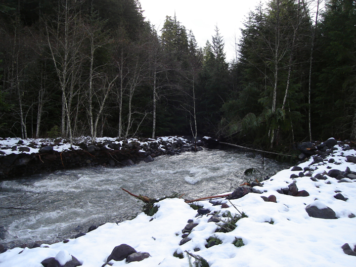
 This flood/rain/storm event has made evident the challenges of managing facilities and roads in the shadow of a major glaciated peak that is slowly loosing its glaciers. Kautz Creek is quickly becoming the poster child of how Mt. Rainier National Park will manage this complex situation. As it stands now, Kautz Creek continues to flow over the Nisqually to Longmire road because it jumped its main channel upstream in an area that is legally designated "wilderness." The hard question is, how do you provide safe, reliable, and financially feasible road access through a threatened drainage that is known for glacial outbursts and episodic floods? The photo above displays the culprit, Kautz Creek, shortly before it enters unchartered forest as it forms a new channel. This picture was taken roughly one mile upstream from where the creek now intersects the main road.
 And speaking of photos... Here is another set of "during and after" pictures of Mt. Rainier's flooding. This set focuses on the Nisqually River bridge near Longmire, seen here on Nov. 6th.
 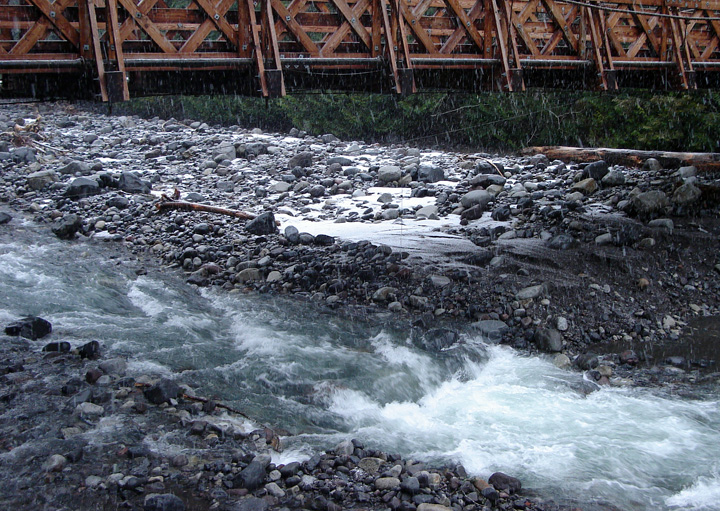 Compare this to roughly the same image today, an obvious contrast to the muddy storm flow above.
No comments:
Post a Comment